VIEW AND DOWNLOAD THE BEAMS NEWSLETTER, THE PING.
(Vol. 1, February 2024)
PDF version Storymap version


The program was founded in 2007 within the College of Charleston’s Department of Geology and Environmental Geosciences in the School of Sciences, Mathematics, and Engineering. BEAMS students learn to use state-of-the-art multibeam sonar data processing software to generate detailed maps of the seafloor (i.e., bathymetric maps) and acoustic backscatter imagery for seabed classification. Those who elect to reach full “BEAM TEAM” status, continue on to the research course, which requires a full research project using either archived data or data collected during a BEAMS cruise. Students present their results at regional and national meetings annually, and locally at the BEAMS Symposium. Development of supplemental field-based courses for multibeam, sidescan sonar and sub-bottom profiling, workshops for training in additional software, and plans for summer institutes are all underway. The program is maintained through alumni support and CofC institutional funds, along with partnerships from industry. To date, over 220 students have participated in BEAMS. More than half of the students who have graduated have successfully pursued graduate school or sought employment in the marine geospatial field. 46% of this workforce is female. The combination of learning new technologies and software, conducting and presenting research, and gaining hands-on field experience has proven to be a strong attraction for students; and job, graduate studies, internships and volunteer opportunities have grown as the need for higher resolution seafloor images and maps has increased globally.
Become a BEAMS Investment Partner today and help the program continue to GROW!
|
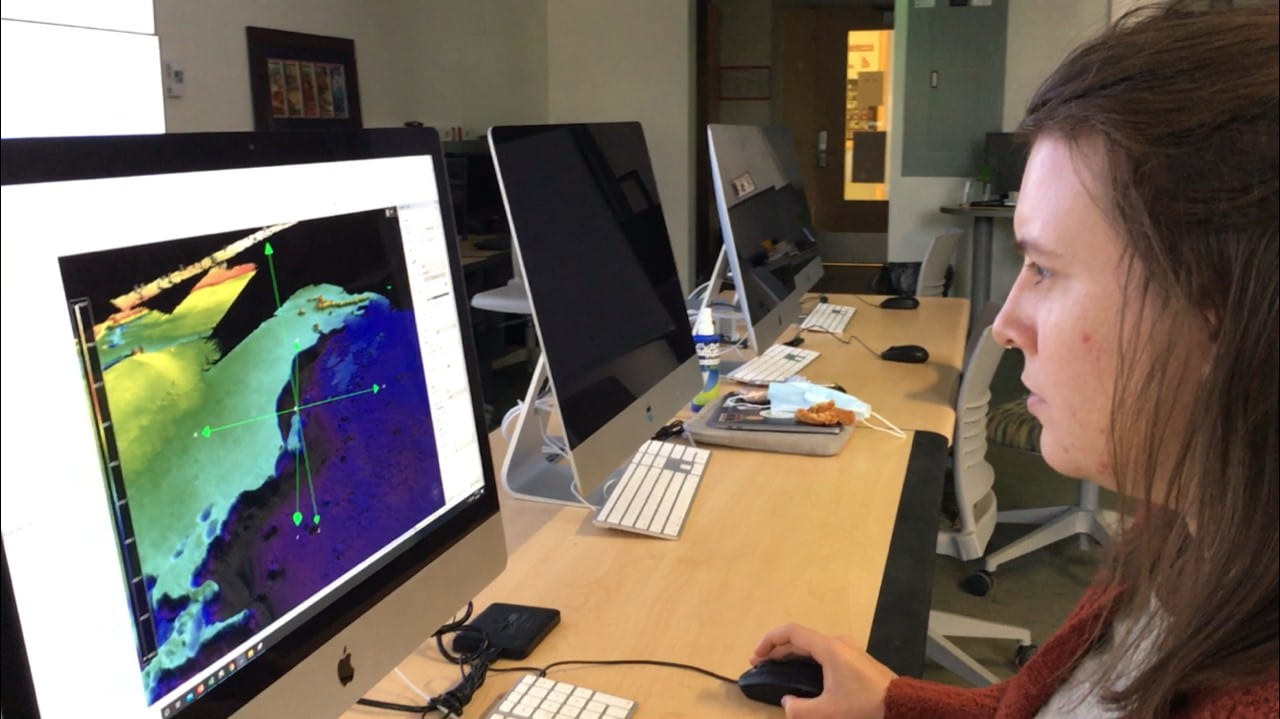
A core of required elective courses teaches students a comprehensive suite of critical software, technologies and other skills for use in ocean surveys. The foundation course, Introduction to Seafloor Mapping (“SeaMap”) provides training in CARIS HIPS. Students learn the software using data from NOAA, USGS, and other sources. |
 |
|
|
Many students conduct independent research, applying their skills to geological and biological studies. Partners from NOAA, USGS and elsewhere provide datasets for student research. |
|
Nearly every student presents his/her research at a regional and/or national meeting, such as the U.S. Hydro Meeting, The Ocean Sciences Meeting, or American Geophysical Union’s Fall Meeting. Since 2022, students have also presented at the BEAMS Symposium, held annually in Charleston. |
 |
|
|
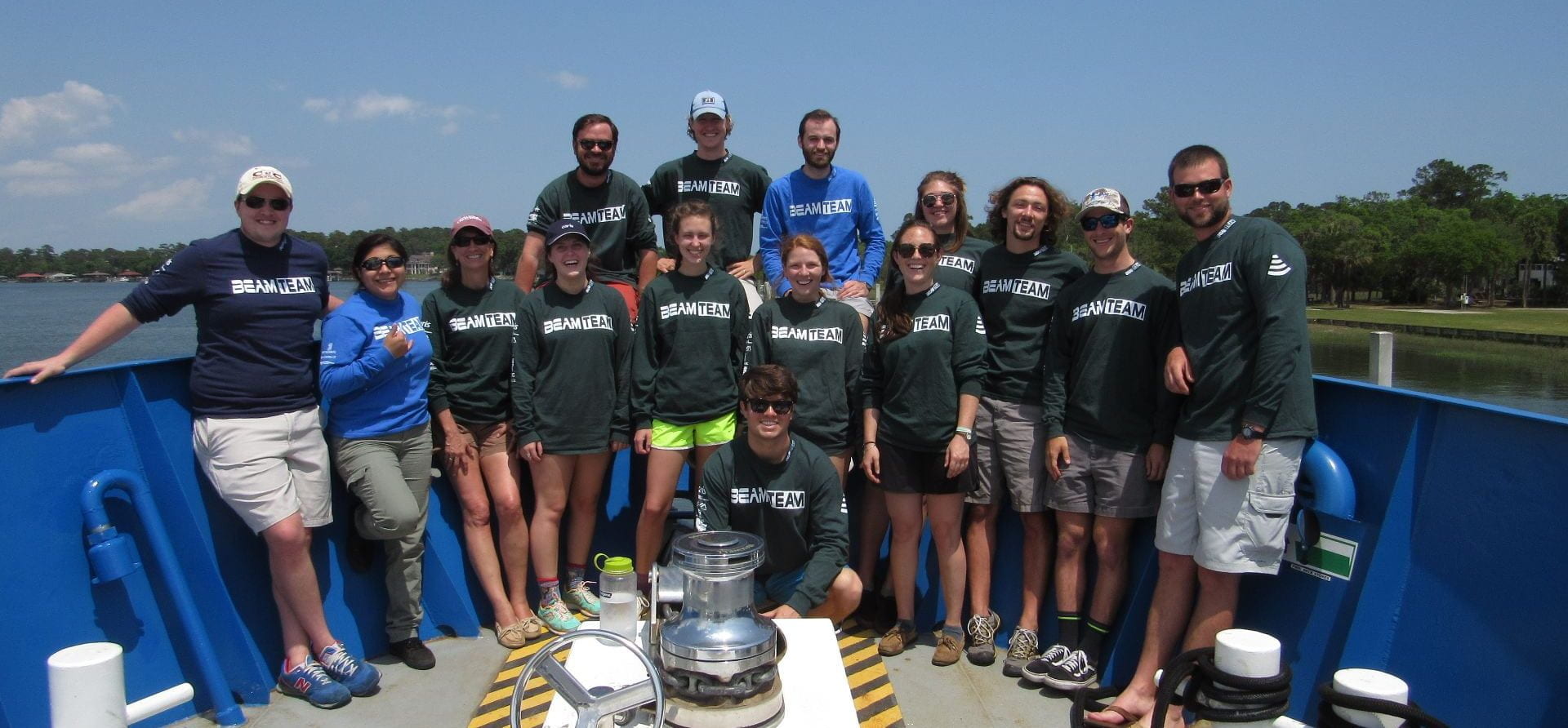
Practical at-sea experience is a cornerstone of BEAMS. Students have a unique opportunity to sail aboard a research vessel during a BEAMS-dedicated multibeam sonar survey cruise. During their time at sea, students learn the instrumentation for data collection as well as the planning and data acquisition software. They also post-process data during each survey and begin analyzing their results. |

|
Through industry and government partnership development, BEAMS will continue to promote development of numerous student internship opportunities. These internships range in duration, scope and pay. |
|
