Blogroll
-
Recent Posts
Categories
- 3D Capture
- 3D visualization
- Academia
- agent based
- Avkat
- classical archaeology
- Conferences
- Courses/Field Schools of Interest
- Geophysics
- geospatial
- Google Earth
- heritage management
- informatics
- Least Cost Paths
- Linear B
- linked data
- Lowcountry field school
- News
- open source
- Projects
- Rome
- RTI
- State of the Field
- Topography
- United Kingdom
- Websites of Interest
- white light scanning
Meta
Tag Archives: GIS
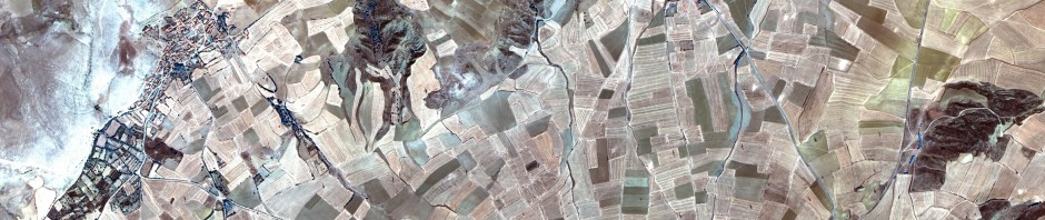
Modeling Communication Routes Over Land and Sea
In an ongoing effort to announce the initiatives occurring in Archaeoinformatics at the Santee Cooper GIS Lab, work is nearing completion on a project that models least cost paths in environments that require the integration of terrestrial and marine costs. … Continue reading
Posted in Least Cost Paths, Projects
Tagged Aegean Prehistory, Archaeology, College of Charleston, GIS, Least Cost Paths, Modeling
2 Comments
Avkat Informatics
One of the projects being undertaken in the Santee-Cooper GIS Lab this summer is an overhaul of the informatics for the Avkat Archaeological Project, an intensive survey project undertaken in Central Anatolia between 2007 and 2009 by Princeton, Trent University, and … Continue reading
Posted in Avkat, News, Projects
Tagged Archaeology, Avkat, Classics, College of Charleston, GIS, JavaScript, Turkey
Leave a comment
Introduction
This blog is being started for several reasons. to inform the general archaeoinformatic community about initiatives and research being undertaken at the College of Charleston to encourage discussion, comment, and potential collaboration with others in the archaeoinformatic community about our … Continue reading
Posted in News
Tagged Archaeoinformatics, Archaeology, College of Charleston, development, GIS
Leave a comment
Landscape Research Centre
The Landscape Research Centre Atlas of the Archaeology of the Vale of Pickering (http://www.landscaperesearchcentre.org/atlas/LRC_Atlas.html) presents “…the interpretations of more than three decades of landscape observation and research using air-photography and geophysics to map the archeaology of parts of the Vale … Continue reading →![]()
Continue reading
Posted in Geophysics, geospatial, Google Earth, United Kingdom, Websites of Interest
Tagged GIS
Comments Off on Landscape Research Centre