Blogroll
-
Recent Posts
Categories
- 3D Capture
- 3D visualization
- Academia
- agent based
- Avkat
- classical archaeology
- Conferences
- Courses/Field Schools of Interest
- Geophysics
- geospatial
- Google Earth
- heritage management
- informatics
- Least Cost Paths
- Linear B
- linked data
- Lowcountry field school
- News
- open source
- Projects
- Rome
- RTI
- State of the Field
- Topography
- United Kingdom
- Websites of Interest
- white light scanning
Meta
Tag Archives: ESRI
AquaTerra on GitHub
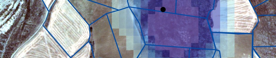
Newhard, Levine, and Phebus (2014) presented a LCP model that incorporated both terrestrial and marine costs to assist in exploring the connectivity between places. Developed in ArcGIS ModelBuilder, the initial model was streamlined by Nicola Buescher, Christina Carmack, Caleb Whitaker, Zach Campbell … Continue reading
Avkat 3D Update
We are slowly building our facility with SketchuUp, and time for an update. Our Junior Intern has been largely involved with this component, and this post is written by me, but with contributions from Chris. Working with Chris is a … Continue reading
Posted in 3D visualization, Avkat, Projects
Tagged 3D, Archaeology, Avkat, Classics, College of Charleston, Digital Humanities, ESRI, Modeling, Trimble Sketchup, Turkey, visualization
Leave a comment