In an ongoing effort to announce the initiatives occurring in Archaeoinformatics at the Santee Cooper GIS Lab, work is nearing completion on a project that models least cost paths in environments that require the integration of terrestrial and marine costs. Preliminary results of our work – conducted by myself, Angelina Phebus of UNC-Chapel Hill, and Norman Levine of the Santee-Cooper GIS Lab – was presented in January 2011 at the AIA meetings in San Antonio. Since that time, work has progressed to refine the modeling algorithms, but the basic work – to develop a system that develops a path using a continuous, joined cost surface that incorporates land and marine costs (when applicable) is soon to be out the door.
Since our presentation in San Antonio, Stanford has developed a system as well. Orbis has taken off with much success. From what I can make of Orbis, our two labs have taken some different approaches. Moving from Mycenae to Kolonna in our modeling, for example, takes approximately 20 minutes to run. Orbis, by contrast, requires approximately 4 seconds to plot the time from London to Jerusalem. As they state, Obis privileges and accentuates the long-distance system of the Roman world, and has simplified processes in order to account for the scale of the system. Our model, in contrast, leaves open the system for small-scale and informal pathways to emerge.
Exactly.
That’s because ORBIS deals entirely with network pathfinding, even in the case of developing new routes over sea–something which is typically done with raster cost surfaces.
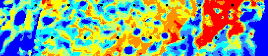
We experimented with joining network paths with raster cost paths so that you could transition from a network to a surface, but the processing cost proved too much given the excellent results we managed with going the “network surface” (the mesh we use for our sea model) route. That said, there is much value in raster surfaces for cost paths especially, as you point out, at the smaller and less structured scale.